Archaeological terrain survey · Poland
- 01
Draw the area
Any extent in Poland
- 02
Strip the trees
Ground returns only
- 03
Relight the ground
Five sun azimuths
- 04
Rank what remains
Candidates, with QGIS
- Sheet
- 01 of 01
- Site
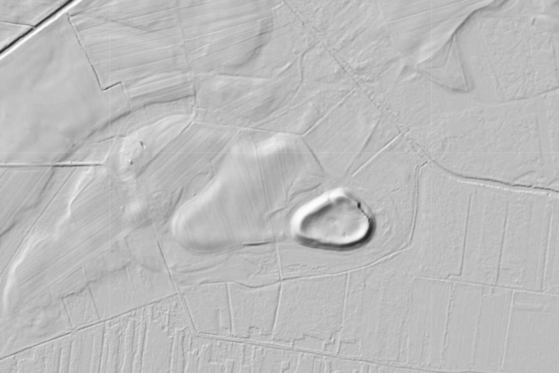
- Czermno, gm. Tyszowce
- Source
- ISOK · NMT · ground class 2 · 0.5 m grid
- Render
- Hillshade · 5 azimuths · alt 25° · 1024 px tiles
- CRS
- EPSG:2180