01 / The evidenceLook before you classify
What survives
in the ground.
A grodzisko is the surviving trace of a fortified settlement: a bank, ditch or enclosure shaped into the land. Vegetation can hide it from view. Bare-earth LiDAR makes its relief legible again.
These are registered reference sites, shown as terrain evidence. They are not model detections or field validation.
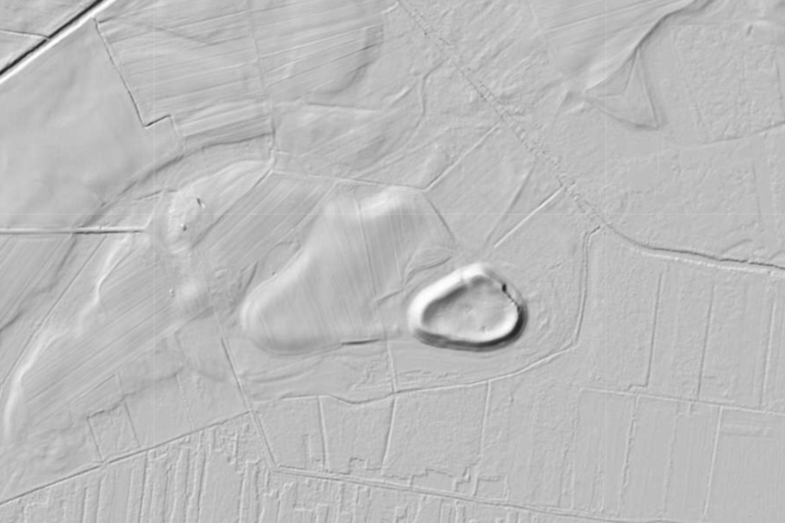
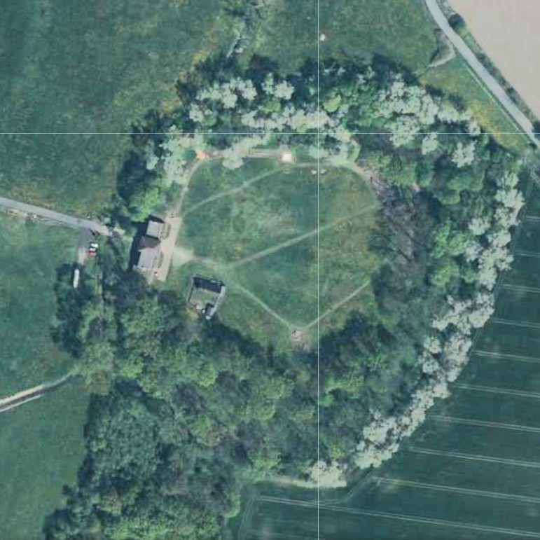
Exact locations are shown only for sites already in the Polish monuments register. Unregistered candidate coordinates are withheld.
Next02 / The method